Allan and Lesley Witton, John and Judith Willson, Paul Shufflebottom, Tim Pattison, Ian Thorpe
From a walker’s point of view, the Ötztal Alps are divided into two distinct areas by the extensive glaciated ridge, the Weißkamm, which runs south-west to north-east and terminates at Sölden. The first 5½ – day section of the route, north of the Weißkamm, was a loop at the head of Pitztal, followed by an attempt at Hohe Geige then a challenging crossing of the Geigenkamm to Huben in the Ötztal
The second 5½ – day section, south of the Weißkamm, was a circuit from Vent, heading south up Niedertal and returning via Rofental. It included walks up to two huts on the Italian frontier, the Similaun hut and the Gasthof Schöne Aussicht, and ascents of five 3000 m peaks on five consecutive days: Kreuzspitz (3457 m); Saykogel (3360 m); Im Hintern Eis (3270 m); Urkundkolm (3140 m) and Wildes Mannle (3023 m). The ascents of Kreuzspitz and Saykogel make it the second consecutive year we have exceeded our previous height record.
Route Outline: Day 1. Mittelberg > Taschachhaus 2. Riffelseehütte 3. Plangeross (hotel) 4. Rüsselsheimer Hütte (2 nights) 5. Excursion Hohe Geige W 6. Huben (hotel) 7. Vent > Martin Busch Hütte (2 nights) 8. Excursion Kreuzspitz 9. Gasthof Schöne Aussicht via Saykogel 10. Excursion Im Hintern Eis > Hochjoch-Hospiz 11. Breslauer Hütte > Excursion Urkundkolm 12. Excursion Wildes Mannle > Vent.
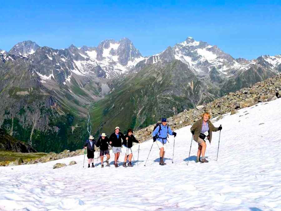
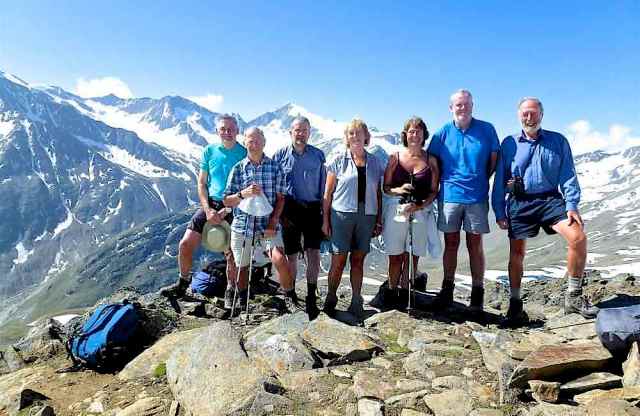
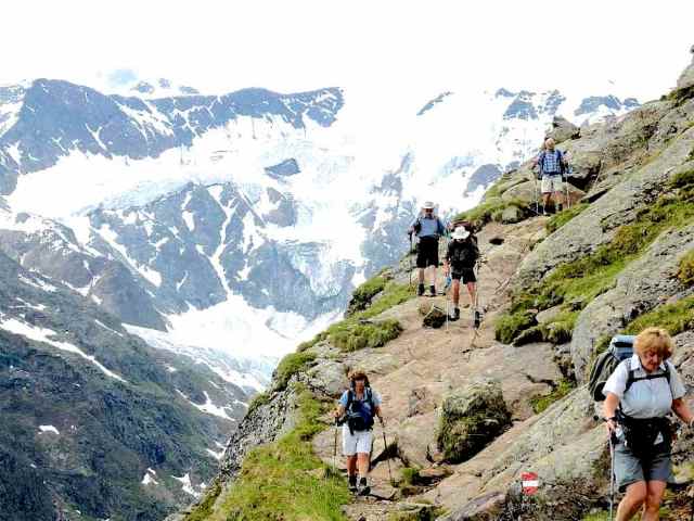
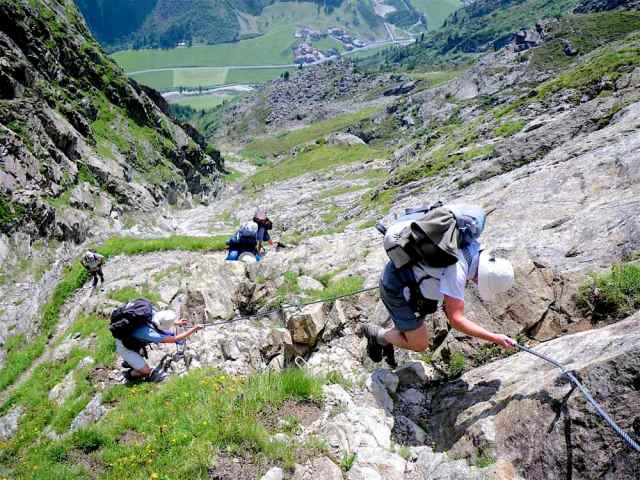
Below is a slide show of a selection of images from the Ötztal Alps.


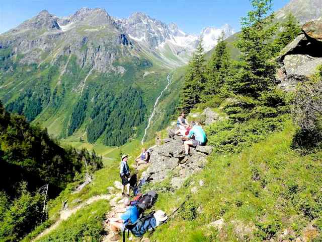
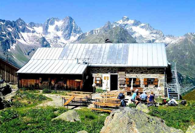


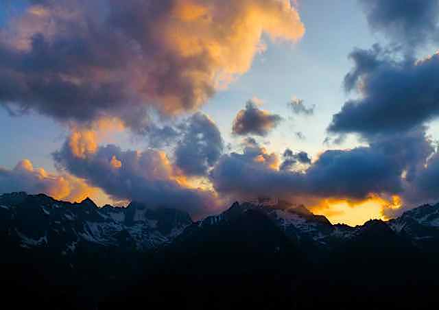

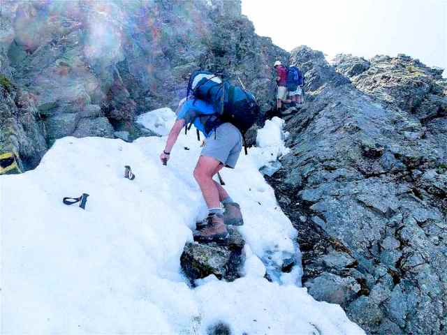

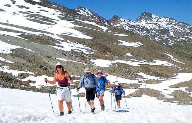
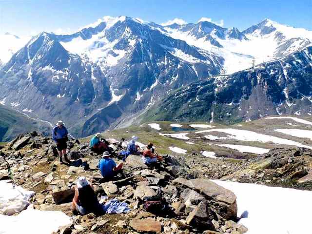


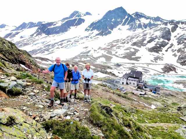


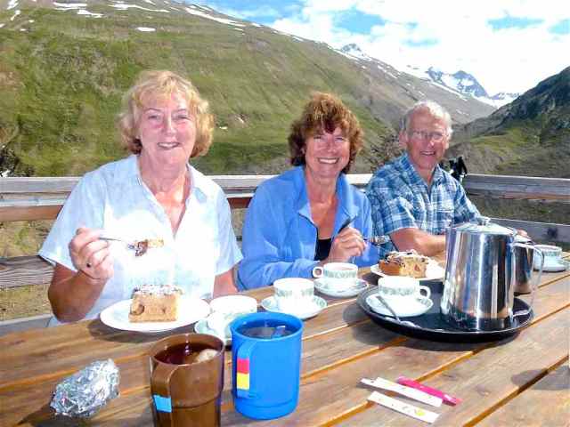
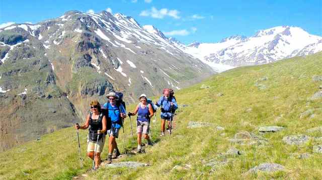


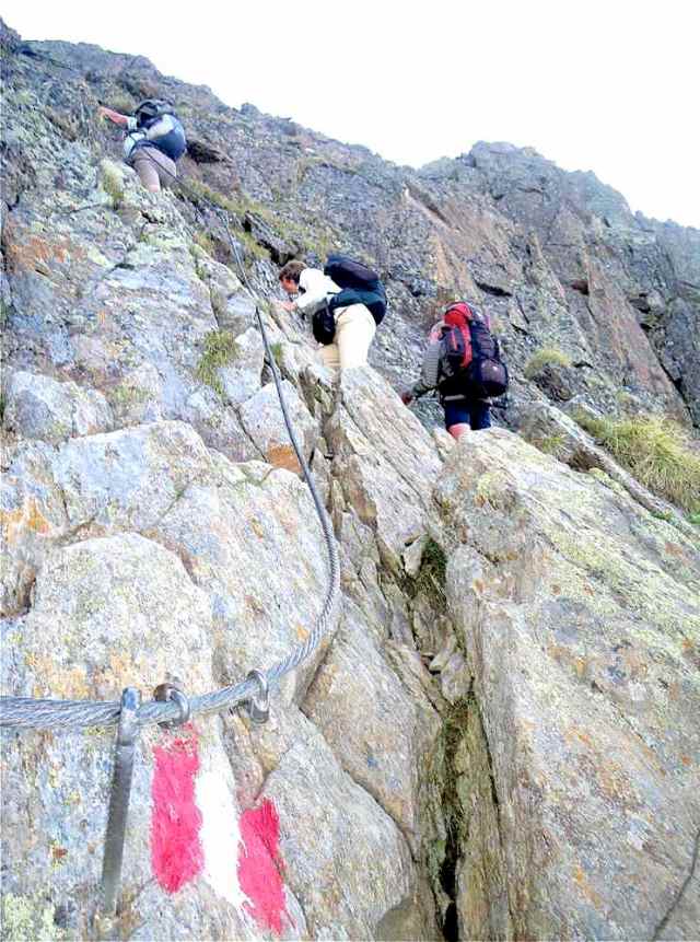
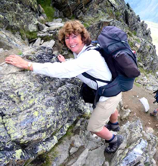
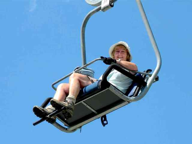
All the images in the slide show are taken from the illustrated log below, where their locations are given. Click on the file name to view it.
The location of site navigation menu depends on the pane size; for large size it may be at the top and right hand side, for smaller size it is at the bottom or accessible by clicking on the 3 bar symbol above the title image.
